Notice
Dr Tomasz Panecki - Digital editions of historical maps: between images and data. The example of “Gaul/Raczyński” topographic map (1807-1812)
- document 1 document 2 document 3
- niveau 1 niveau 2 niveau 3
Descriptif
Dr Tomasz PANECKI
Institute of History, Polish Academy of Sciences - PL
Tomasz Panecki, PhD – assistant professor at the Department of Historical Atlas (Institute of History, Polish Academy of Sciences). Obtained master degree in history and geography and defended doctoral thesis at the Faculty of Geography and Regional Studies (University of Warsaw) entitled “The Concept of Historical Topographic Objects' Database”. Scientific interests include: old maps digital editions & historical mapping including history of cartography, spatiotemporal ontologies and databases, conceptualization of place and its categories in diachronic context, cartographic representation of real world entities.
Dans la même collection
-
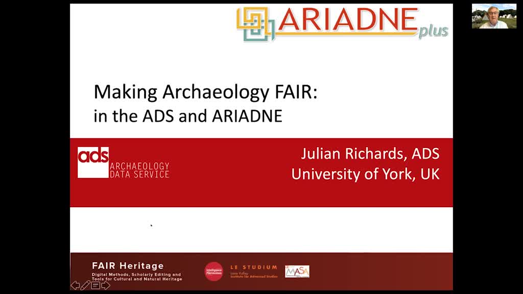
Prof. Julian D. Richards - Making Archaeology FAIR: in the Archaeology Data Service and ARIADNE
RichardsJulian D.Prof. Julian D. Richards Department of Archaeology, University of York - UK Julian Richards is Professor of Archaeology at the University of York. He is Director of the Centre for Digital Heritage,
-
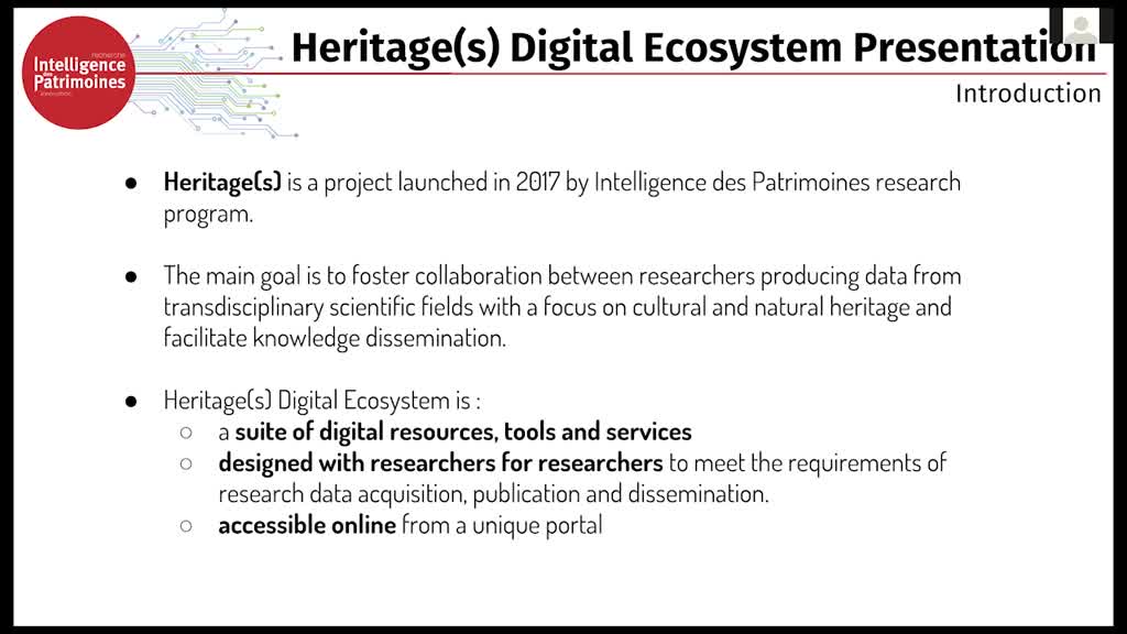
Perine Thuringer et Damien Vurpillot - ARD - Programme Intelligence des Patrimoines: Heritage(s) di…
ThuringerPerrineVurpillotDamienPerine Thuringer et Damien Vurpillot, ARD 2020 INTELLIGENCE DES PATRIMOINES Programme - FR
-
-
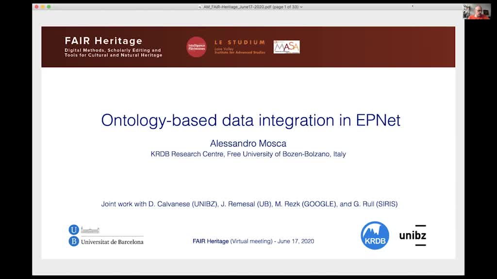
Dr Alessandro Mosca - Ontology-based data integration in EPNet
MoscaAlessandroDr Alessandro MOSCA Faculty of Computer Science, Free University of Bozen-Bolzano - IT KRDB Research Centre of the Faculty of Computer Science, Free University of Bozen-Bolzano (Italy). His
-
Dr Florent Laroche - French National Project ReSeed - Semantic reverse-engineering of digital herit…
LarocheFlorentDr Florent LAROCHE École Centrale of Nantes - FR Florent Laroche is a "doctor-engineer" working as an assistant professor at Ecole Centrale de Nantes (France) and as a researcher in the laboratory
-
Development of digital platform about stained glass restoration data in France
ArrugaMarlèneKoudoro-ParfaitCarolineMarlène ARRUGA Center for Advanced Renaissance Studies (CESR) / CNRS, University of Tours - FR Marlène Arruga and Caroline Parfait are 2nd year students in a M.A. in Digital Humanities at the Centre d
-
Dr Carlo Meghini - Extending Digital Libraries with Digital Narratives
MeghiniCarloDr Carlo MEGHINI Institute of Science and Information Technology "A. Faedo", National Council of Research (CNR) - IT Dr Carlo Meghini (M) graduated in Computer Science at the University of Pisa in
-
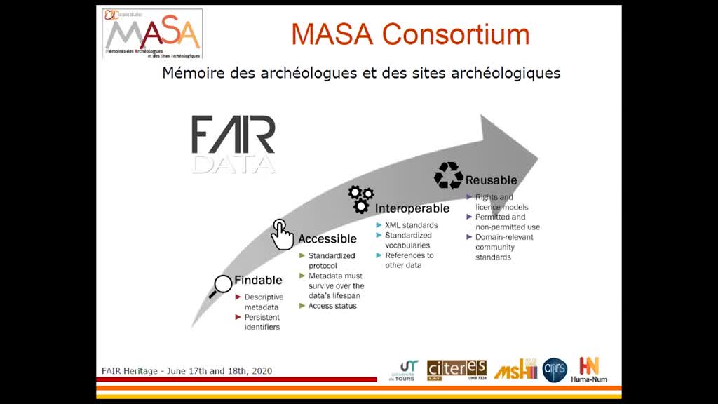
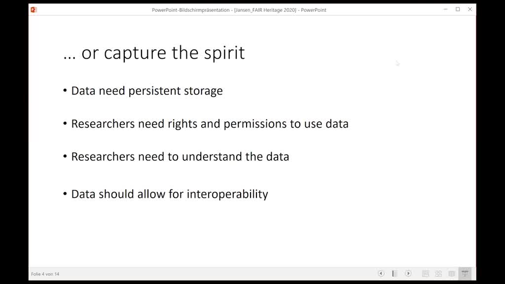
FAIR Heritage : Institutional presentation
Boudry GabilletSophiePierreBenoistProf. Benoist Pierre, Sophie Gabillet Prof. Benoist Pierre, Center for Advanced Renaissance Studies (CESR) / CNRS, University of Tours – FR Sophie Gabillet, LE STUDIUM - FR
-
Miled Rousset - OpenTheso and PACTOLS
RoussetMiledMiled Rousset - Responsible for the WST (Semantic Web and Thesauri) technological platform of the national network of Maisons des Sciences de l'Homme (RnMSH)
-
Olivier Marlet - OpenArcheo
MarletOlivierOlivier Marlet, CItés, TERritoires, Environnement et Sociétés - FR
-
-
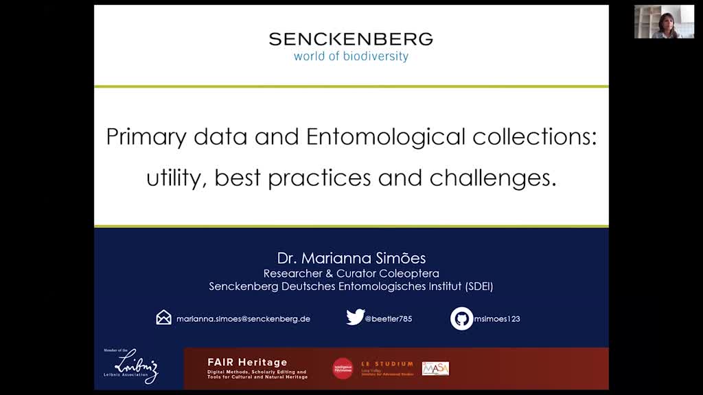
Dr Marianna Simoes - Primary data and Entomological collections: utility, best practices and challe…
SimoesMariannaDr Marianna SIMOES Senckenberg German Entomological Institute (SDEI) / University of Hamburg - DE I'm an evolutionary biologist with research foci lying at the intersection of phylogenetics, spatial