Notice
From Van to the Caspian Sea: Portuguese and Italian Maps of Eastern Anatolia and Armenia, 1500-1600
- document 1 document 2 document 3
- niveau 1 niveau 2 niveau 3
Descriptif
Séminaire "Mers ottomanes, de la Méditerranée à l'Océan Indien"
Lundi 19 mai 2014 à 18h à l'IFEA
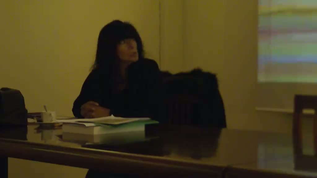
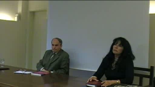
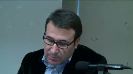
Zoltan Biedermann (University College London (UCL), As. Prof.)
"From Van to the Caspian Sea: Portuguese and Italian Maps of Eastern Anatolia and Armenia, 1500-1600"
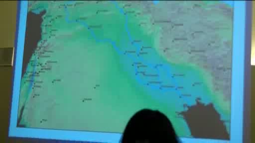
Various mapmaking traditions engaged with the East Anatolian - Caspian region in the sixteenth century, each looking at it from a different angle: while Ottomans geographers observed their empire from Istanbul, Venetians collected data from travellers and diplomats to Persia, and Portuguese cartographers observed the region from Goa. The presentation explores these points of contact and highlights the gaps they produced in the cartography of the region.
Dans la même collection
-
Les Ottomans en Méditerranée au XVIe siècle
Séminaire "Mers ottomanes, de la Méditerranée à l'Océan Indien" Lundi 14 avril 2014 à 18h à l'IFEA Nicolas Vatin (EPHE, Directeur d’études) "Les Ottomans en Méditerranée au XVIe siècle" Intervention
-
L'évolution de la représentation du Bosphore à travers les collections de plans et cartes de l'IFEA
LEBOUTEILLER Pascal
Séminaire "Mers ottomanes, de la Méditerranée à l'Océan Indien" Lundi 13 janvier 2014 à 18h à l'IFEA Pascal Lebouteiller (cartographe) "L'évolution de la représentation du Bosphore à travers les
-
Visions des châteaux des Dardanelles
Avec le Bosphore, les Dardanelles sont l’un des deux détroits qui mettent en communication la Méditerranée et la mer Noire via la mer Égée et l’antique Propontide, aujourd’hui mer de Marmara.
-
A la recherche du passé : Choiseul-Gouffier et la cartographie historique des Dardanelles au 18e si…
VAGNON Emmanuelle
Ambassadeur auprès de la Sublime Porte, le comte de Choiseul-Gouffier (1752-1817), auteur du Voyage pittoresque de la Grèce, fut à l’origine d’une active cartographie française des Détroits du
-
Le cas Giustinian: assistance vénitienne à la modernisation de la flotte turque contre les Portugai…
SERVENTIE Alain
Séminaire "Mers ottomanes : de la Méditerranée à l'Océan Indien" Lundi 27 décembre 2010 à 18h00 à l’IFEA Alain Serventie (chef de l’Unité communication, information et relations interinstitutionnelles
-
Les cartes des Détroits et d’Istanbul issues de la mission Graviers d’Ortières au XVIIe siècle
BILICI Faruk
De Henri IV jusqu’à la fin de l’Empire ottoman, deux politiques françaises coexistent vis-à-vis de l’Empire : l’une officielle, dictée par la « raison d’État », l’autre plus ou moins secrète,
-
The ottoman shipyards of Birecik in the 16th century : a strategic issue
COUTO Dejanirah
Séminaire "Mers ottomanes : de la Méditerranée à l'Océan Indien" Jeudi 27 janvier 2011 à 18h00 à l'IFEA Dejanirah Couto (EPHE) "The ottoman shipyards of Birecik in the 16th century : a strategic issue
-
The development of the Ottoman maritime arsenals: 16-17th centuries
MELIS Nicola
Séminaire "Mers ottomanes : de la Méditerranée à l'Océan Indien"Vendredi 25 mars 2011 à 18h00 à l’IFEA Nicola Melis (Université de Cagliari)" The development of the Ottoman maritime arsenals: 16-17th
-
The Atlantic nautical archaeology: some case studies (16th-18th)
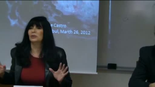
CASTRO Filipe Vieira de
Séminaire "Mers ottomanes : de la Méditerranée à l'Océan Indien" - Cycle Archéologie nautique - Filipe Castro : The Atlantic nautical archaeology: some case studies (16th-18th)
-
Turcos" in the Mediterranean, "Rumes" in the Indian Ocean: Reconsiderations of Portuguese images of…
ÖZBARAN Salih
Séminaire "Mers ottomanes: de la Méditerranée à l'Océan indien" Vendredi 22 avril 2011 à 18h à l’IFEA Salih Özbaran (Université Ege İzmir) "Akdeniz'de "Türk", Hint Okyanusu'nda "Rumi": 16. Osmanlı
-
Presentation of Yenikapı archaeological excavation
KOCABAş Ufuk
Séminaire "Mers ottomanes : de la Méditerranée à l'Océan Indien" Ufuk Kocabaş (Prof. associé à l'Université d'Istanbul) Presentation of Yenikapı archaeological excavation Vendredi 18 novembre 2011


Sur le même thème
-
Base de données et cartographie. Pour une nouvelle approche des monastères latins dans les États la…
ARTAUD Florian
À travers son projet doctoral, Florian Artaud propose une relecture des institutions monastiques latines dans les États latins d’Orient, en les abordant sous l’angle de la territorialité. Au cœur de
-
De la charte à la carte et retour : l’apport du SIG à la compréhension de la documentation sur le p…
DORSO Simon
Simon Dorso propose de revisiter la carte du royaume croisé de Jérusalem publiée en 1970 par Prawer et Benvenisti à la lumière des outils des humanités numériques. En croisant sources écrites et
-
Mesure de direction et de pendage | Tuto géologie
TRIANTAFYLLOU Antoine
Tutoriel de mesure de pendage et de direction avec une boussole de géologue sur le terrain.
-
Visualiser les données des sources ottomanes : modélisation et spatialisation des réseaux de fondat…
Visualiser les données des sources ottomanes : modélisation et spatialisation des réseaux de fondations pieuses de Bosnie avec Gephi
-
L’apport des Humanités numériques à la recherche historique : SIG et Web sémantique en Centre Viet…
SCHWEYER Anne-Valérie
MERMET Eric
Analyse du paysage au Centre Vietnam via des annotations sur cartes et photos dans Oronce Fine.
-
Cartes en ligne : un outil de science ouverte
BAYOUMI Hala
Cartes en ligne : un outil de science ouverte
-
Les outils de géolocalisation du consortium Huma-Num Projets Time Machine
MERMET Eric
Les outils de géolocalisation du consortium Huma-Num Projets Time Machine
-
Présentation de Magrit
VIRY Matthieu
Présentation de l'application de cartographie thématique Magrit, incluant une démonstration de réalisation de carte.
-
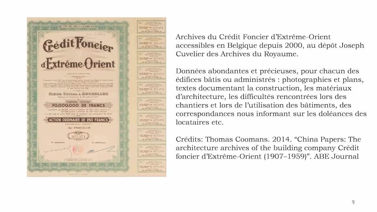
Le Crédit Foncier d’Extrême Orient dans la concession française de Tianjin (1907-1956) : un récit …
DESPLAIN Aurélia
Le Crédit Foncier d’Extrême Orient dans la concession française de Tianjin (1907-1956) : un récit visuel spatialisé
-
NOMMER LES ESPACES MARINS, L’EXEMPLE DES OCÉANS – PARTIE 1
BRIAL Fabien
BRUNET-MALBRANCQ Joëlle
NOMMER LES ESPACES MARINS, L’EXEMPLE DES OCÉANS – PARTIE 1
-
-
Nommer les espaces marins, l’exemple des océans – Partie 2
BRUNET-MALBRANCQ Joëlle
BRIAL Fabien
Nommer les espaces marins, l’exemple des océans – Partie 2