Notice
Evaluating Hydrological Risks Using LIDAR Mapping
- document 1 document 2 document 3
- niveau 1 niveau 2 niveau 3
Descriptif
Presented at the UNB WU Center in Fredericton by Dr. ARF and his team
Sur le même thème
-
La place de l'édition scientifique publique dans le panorama de l'écologie du livre
GokselNisanCe webinaire est la première action du groupe de travail "Écologie du livre" piloté par Nina Koulikoff (MSH Mondes) et Cédric Vigneault (Enssib)...
-
Villes et environnement en Jordanie et à Oman
AbabsaMyriamKlingerThibautBilardelloSophieConférence publique de l’Institut d’études de l’Islam et des sociétés du monde musulman (IISMM) en partenariat avec la Bibliothèque universitaire des langues et civilisations (BULAC).
-
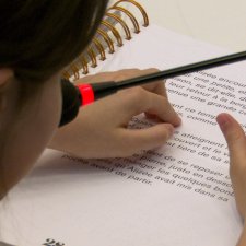
Lecture en braille de l'ouvrage "Le vénérable Mélèze" de Gilles Mottet à la médiathèque Marguerite …
ChotinAnneLe 14-05-2025 a eu lieu une lecture en braille de l'ouvrage "Le vénérable Mélèze" de Gilles Mottet à la médiathèque Marguerite Duras à Paris, organisée par l'INSEI et la Fédération des Aveugles et
-
Présentation du Service des Documents Adaptés aux Déficients Visuels (SDADV)
Le service des documents adaptés aux personnes déficientes visuelles, SDADV, est un service du pôle ressources de l’Institut National Supérieur de Formation et de Recherche pour l’Éducation Inclusive.
-
Présence et transferts des PFAS dans les écosystèmes aquatiques
LabadiePierreLes composés per- et poly-fluoroalkylés (PFAS) sont au cœur de l'actualité. Ces « polluants éternels » constituent une pollution inédite des écosystèmes qui touche tous les milieux. Cette présentation
-
William Blake et « l’impression enluminée »
Collé-BakNathalieWilliam Blake et « l’impression enluminée » par Nathalie Collé (Université de Lorraine)
-
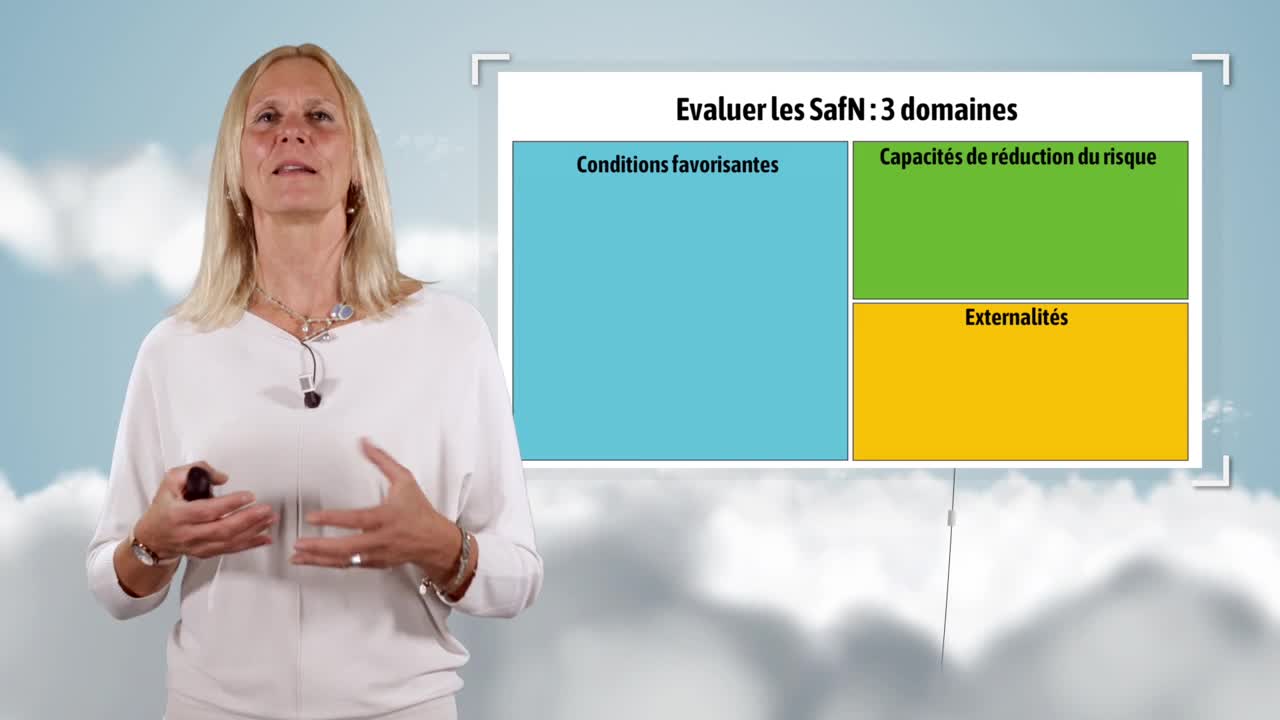
Nature-based climate change adaptation solutions in French overseas departments
DuvatVirginieVirginie Duvat, a professor at La Rochelle University, looks at Nature-based Solutions (NbS) in this video.
-
Mixed farming and climate change
Ellies-OuryMarie-PierreMarie-Pierre Ellies, a professor at Bordeaux Sciences Agro, discusses the changes taking place in mixed crop and livestock farming areas in the context of climate change in this video.
-
Coastal areas and climate change
CastelleBrunoBruno Castelle, a CNRS research director, discusses the adaptation of coastal areas to climate change in this video.
-
Mountain tourism in the face of climate change
George-MarcelpoilEmmanuelleEmmanuelle George, a researcher at the INRAE, looks at the changes in activity in French ski resorts in the context of climate change in this video.
-
Urban areas and climate change
CompagnonDanielDaniel Compagnon, a professor at Sciences Po Bordeaux, looks at the multiple challenges caused by climate change on urban environments in this video.
-
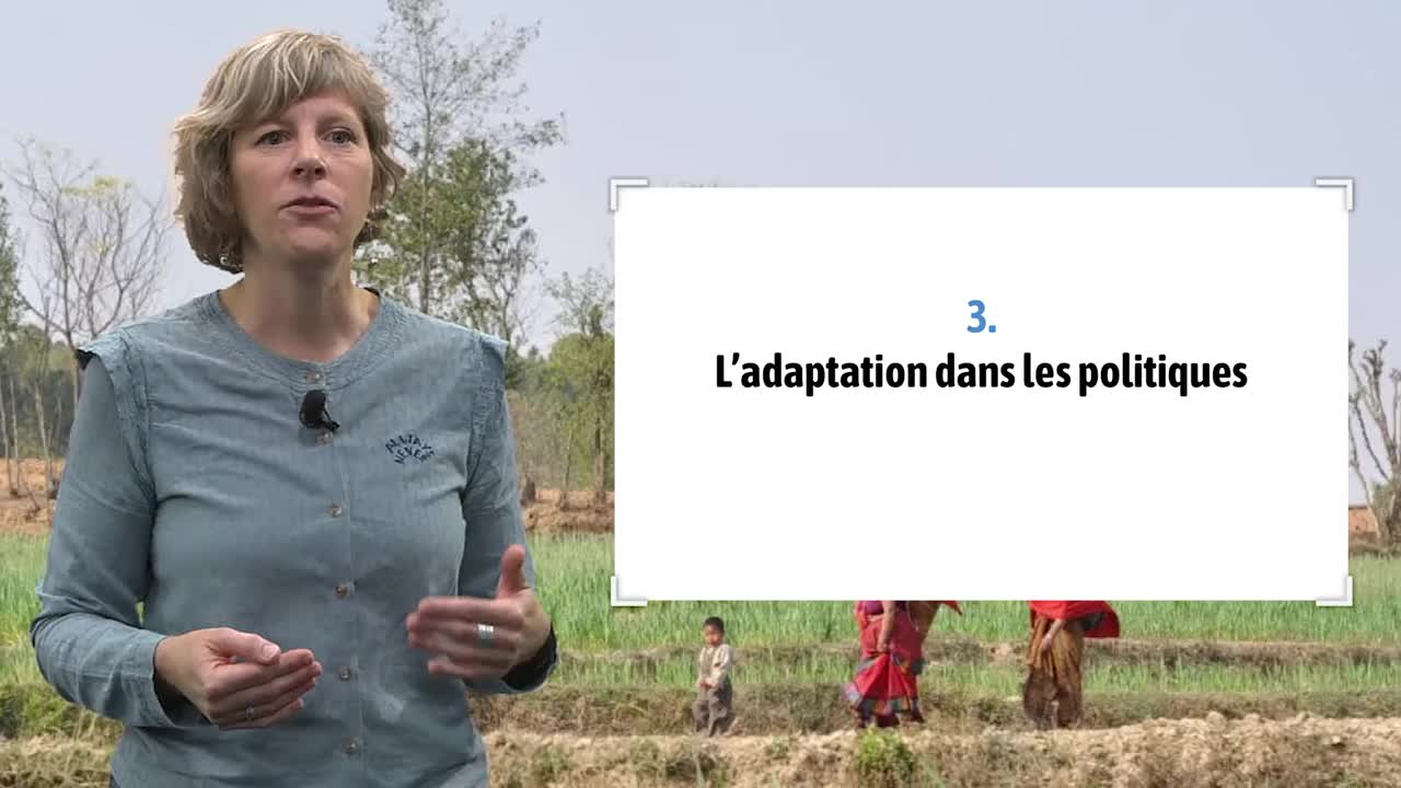
Adaptation to climate change: an introduction
SchipperE. Lisa F.Lisa Schipper, a professor at the University of Bonn (Germany), looks at adaptation to climate change in this video.


