Notice
« Discovering medieval space : the use of geolocated applications for research and public history » (mars 2023)
- document 1 document 2 document 3
- niveau 1 niveau 2 niveau 3
Descriptif
« Discovering medieval space : the use of geolocated applications for research and public history »
Sabrina Corbellini est professeure, titulaire de la chaire « History of Reading in Premodern Europe » à l'Université de Groningen.
Margriet Hoogvliet est post-doctorante sur le projet « Cities of Readers ».
Sabrina Corbellini is a professor, holder of the chaire "History of Reading in Premodern Europe" at the University of Groningen.
Margriet Hoogvliet is a post-doctoral researcher on the “Cities of Readers” project.
[Version française puis version anglaise]
La présentation prendra pour point de départ la série d'applications "Hidden Cities", réalisée dans le cadre du projet HERA JPR "Public Renaissance" (2019-2022). Il discutera dans quelle mesure des « espaces hybrides » peuvent être créés par la fusion du physique et du numérique et produire ainsi un nouveau type d'espace socialement construit. Le concept de création de lieux numériques sera au centre de la présentation, qui examinera comment « l'augmentation » des lieux physiques avec des services, des produits et des expériences numériques spécifiques à un lieu influence la reconstruction des espaces médiévaux.
The presentation will take its start from the series of app “Hidden Cities”, produced within the framework of the HERA JPR project “Public Renaissance” (2019-2022). It will discuss to what extent “hybrid spaces” can be created by the merging of physical and digital and thus producing a new type of socially constructed space. The concept of digital placemaking will be at the center of the presentation, which will enquire how the “augmentation” of physical places with location-specific digital services, products and experiences influences the reconstruction of medieval spaces.
Sabrina Corbellini et Margriet Hoogvliet se consacrent à la recherche sur l'utilisation des technologies de géolocalisation dans le domaine de la recherche et de l'histoire publique, en se focalisant sur l'espace médiéval. Leur projet, appelé « Cities of Readers », se concentre spécifiquement sur l'étude de la culture de la lecture à la fin du Moyen Âge en Europe, en accordant une attention particulière aux environnements urbains.
Les chercheuses utilisent des applications géolocalisées qui exploitent les données de localisation des utilisateurs pour fournir des informations et des services adaptés à leur emplacement. Dans le cadre de leur projet, Mme Corbellini et Mme Hoogvliet utilisent ces applications pour cartographier les emplacements des bibliothèques et librairies historiques, ainsi que d'autres sites liés à la lecture dans les cités médiévales. Grâce à ces cartes interactives, les utilisateurs peuvent explorer la culture de la lecture dans les villes médiévales et découvrir les liens spatiaux entre les différents sites associés à cette activité. Ces cartes offrent une double utilité, à la fois pour la recherche et pour l'histoire publique, permettant aux utilisateurs d'interagir de manière interactive et accessible avec des informations historiques. L'utilisation de technologies de géolocalisation pour la recherche et l'histoire publique ouvre de nouvelles opportunités passionnantes pour explorer les espaces historiques et interagir avec le passé de manière novatrice. Ces applications géolocalisées permettent d'explorer les sites historiques de manière immersive et de découvrir des informations contextualisées en fonction de l'emplacement actuel de l'utilisateur. Cela offre une expérience enrichissante en permettant de visualiser et de comprendre les liens entre l'histoire et l'environnement géographique. Ainsi, ces nouvelles modalités d'exploration et d'interaction offrent une perspective captivante pour mieux appréhender notre patrimoine et son héritage historique.
The presentation will take its start from the series of app “Hidden Cities”, produced within the framework of the HERA JPR project “Public Renaissance” (2019-2022). It will discuss to what extent “hybrid spaces” can be created by the merging of physical and digital and thus producing a new type of socially constructed space. The concept of digital placemaking will be at the center of the presentation, which will inquire how the “rise” of physical places with location-specific digital services, products and experiences influences the reconstruction of medieval spaces.
The presentation will take as its starting point the series of "Hidden Cities" applications, produced as part of the HERA JPR project "Public Renaissance" (2019-2022). It will discuss to what extent “hybrid spaces” can be created by merging the physical and the digital and thus produce a new type of socially constructed space. The concept of creating digital places will be at the center of the presentation, which will examine how the “augmentation” of physical places with place-specific digital services, products and experiences influences the reconstruction of medieval spaces.
Sabrina Corbellini and Margriet Hoogvliet are dedicated to research on the use of geolocation technologies in the field of research and public history, focusing on medieval space. Their project, called “Cities of Readers,” focuses specifically on studying the culture of reading in late medieval Europe, with particular attention to urban environments.
Researchers use location-based applications that leverage users's location data to provide informations and services tailored to their location. As part of their project, Ms. Corbellini and Ms. Hoogvliet are using these apps to map the locations of historic libraries and bookstores, as well as other reading-related sites in medieval cities. Thanks to these interactive maps, users can explore the culture of reading in medieval towns and discover the spatial links between the different sites associated with this activity. These maps offer a dual utility, both for research and for public history, allowing users to interact in an interactive and accessible way with historical information. Using location-based technologies for research and public history opens up exciting new opportunities to explore historic spaces and interact with the past in innovative ways. These location-based applications allow historical sites to be explored in an immersive way and to discover contextualized information based on the user's current location. This provides an enriching experience by allowing to visualize and understand the links between history and the geographical environment. Thus, these new modes of exploration and interaction offer a captivating perspective to better understand our heritage and its historical legacy.
Métadonnées, description et mise en ligne de la vidéo par Alicia Balasso en 2023.
Intervention / Responsable scientifique
Sur le même thème
-
Causeries Culture - Humanités Numériques, Intelligence Artificielle, littérature et technologies #6
PorlierChristopheBertaniNicolaCauseries Culture - Humanités Numériques, Intelligence Artificielle, littérature et technologies #6
-
Faire une histoire des territoires en contexte montagneux : l’organisation de l’espace par les fonc…
SuméraPaula[séminaire] Faire une histoire des territoires en contexte montagneux : l’organisation de l’espace par les fonctionnaires natifs (tusi 土司) dans la région des monts Wuling (Chine impériale tardive,
-
Digital Benin: a digital platform connecting the displaced royal artefacts from Benin Kingdom
Digital Benin: a digital platform connecting the displaced royal artefacts from Benin Kingdom
-
Multilinguality and data access: an area studies librarian’s perspective
WagnerCosimaMultilinguality and data access: an area studies librarian’s perspective
-
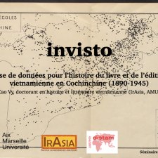
InVisto : Base de données pour l’histoire du livre et de l’édition vietnamienne en Cochinchine (18…
CaoThúy VyL’histoire du livre et de l’édition vietnamienne en Cochinchine (1890-1945)
-
Comment s’orienter dans la forêt des ressources et des outils numériques ?
BurriInèsAntiqui.TXTes - Sciences des textes anciens
-
Outils numériques et nouvelles approches du monde monastique orthodoxe dans les pays grecs dominés …
VoisinLudivineLongtemps marginalisé dans les études sur le monachisme médiéval et moderne, le monde monastique orthodoxe sous domination vénitienne (à Chypre, en Crète ou à Corfou) reste encore largement méconnu.
-
Vers une prosopographie des manuscrits de l’Orient méditerranéen
CassinMatthieuLe projet ProsopoMOM (Prosopographie des manuscrits de l’Orient méditerranéen), financé par l’équipex Biblissima+, développe une prosopographie en ligne des personnes liées à la production et à la
-
Vision par ordinateur et patrimoine arménien écrit
Vidal-GorèneChahanL’intelligence artificielle s’impose dans l’analyse des corpus textuels, avec des outils de reconnaissance de texte désormais performants, y compris pour les écritures non latines. Au cours de sa
-
Les humanités numériques au service de l’étude des colophons arméniens
TatessianNicolasDans le prolongement de sa thèse, Les femmes arméniennes : représentations, rôles et pouvoirs à travers les colophons de manuscrits arméniens (1064-1375), Nicolas Tatessian propose de présenter la
-
Base de données et cartographie. Pour une nouvelle approche des monastères latins dans les États la…
ArtaudFlorianÀ travers son projet doctoral, Florian Artaud propose une relecture des institutions monastiques latines dans les États latins d’Orient, en les abordant sous l’angle de la territorialité. Au cœur de
-
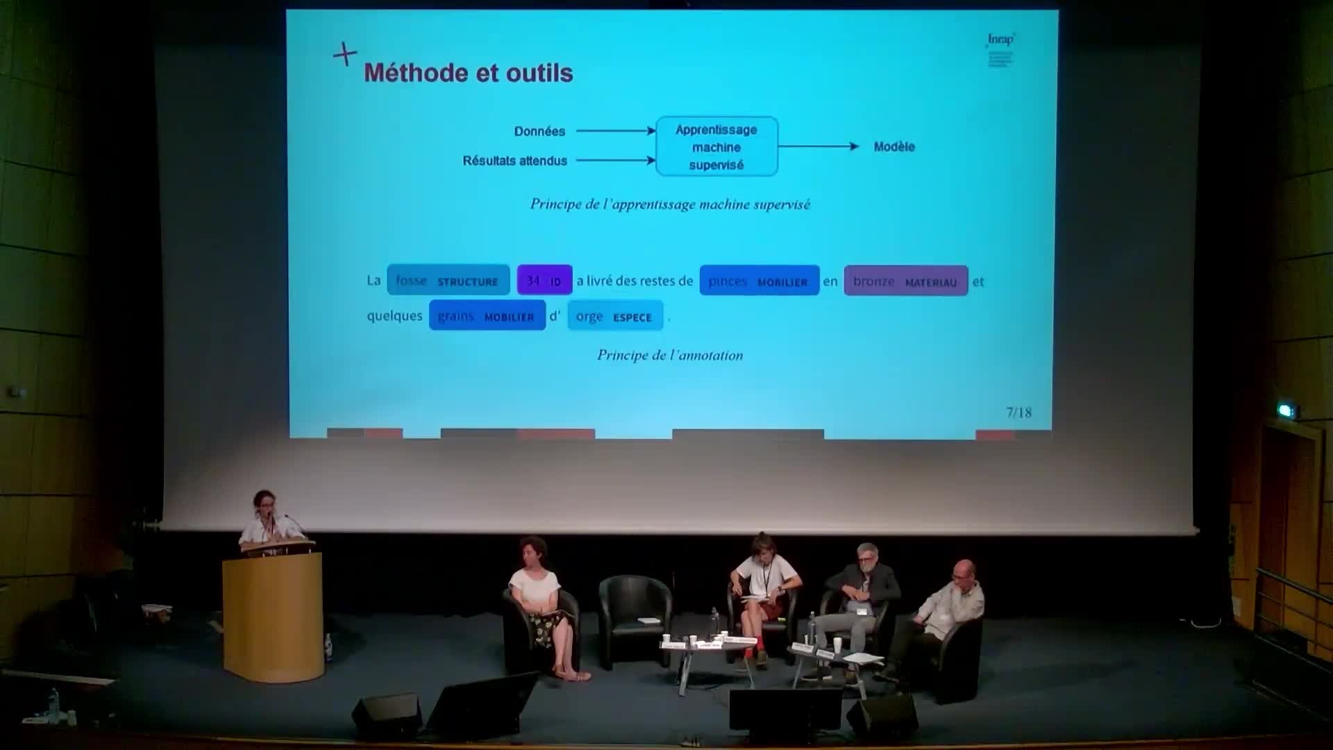
L'IA comme aide à la recherche : l'expérimentation du traitement automatique des langues appliqué a…
MenuArianeAriane Menu (direction scientifique et technique, Inrap) présente ici un exemple d'utilisation du traitement automatique des langues pour repérer des mots-clés dans un corpus de texte et montre


